Wanstead Flats
Introduction
The photograph on this page of Wanstead Flats by Stephen McKay as part of the Geograph project.
The Geograph project started in 2005 with the aim of publishing, organising and preserving representative images for every square kilometre of Great Britain, Ireland and the Isle of Man.

There are currently over 7.5m images from over 14,400 individuals and you can help contribute to the project by visiting https://www.geograph.org.uk
Wanstead Flats
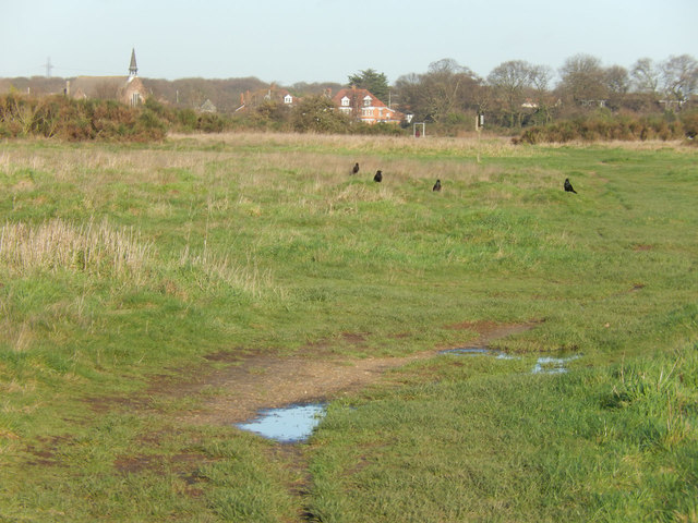
Image: © Stephen McKay Taken: 23 Dec 2015
Wanstead Flats cover 135 hectares and form the southernmost part of Epping Forest. Despite various attempts over the years to develop them, they remain a treasured open space in an otherwise heavily built-up area.
Images are licensed for reuse under creativecommons.org/licenses/by-sa/2.0
Image Location
Latitude
51.555997
Longitude
0.026837