Heather slope descending towards fields
Introduction
The photograph on this page of Heather slope descending towards fields by Trevor Littlewood as part of the Geograph project.
The Geograph project started in 2005 with the aim of publishing, organising and preserving representative images for every square kilometre of Great Britain, Ireland and the Isle of Man.

There are currently over 7.5m images from over 14,400 individuals and you can help contribute to the project by visiting https://www.geograph.org.uk
Heather slope descending towards fields
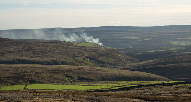
Image: © Trevor Littlewood Taken: 27 Dec 2015
The fields surround the farm at Steward Shield Meadow; they in turn are surrounded by heather moorland. The image was recorded from the route of a high level railway close to the access road for the farm.
Images are licensed for reuse under creativecommons.org/licenses/by-sa/2.0
Image Location
Latitude
54.792058
Longitude
-2.02594