Ensleigh House
Introduction
The photograph on this page of Ensleigh House by Ian Capper as part of the Geograph project.
The Geograph project started in 2005 with the aim of publishing, organising and preserving representative images for every square kilometre of Great Britain, Ireland and the Isle of Man.

There are currently over 7.5m images from over 14,400 individuals and you can help contribute to the project by visiting https://www.geograph.org.uk
Ensleigh House
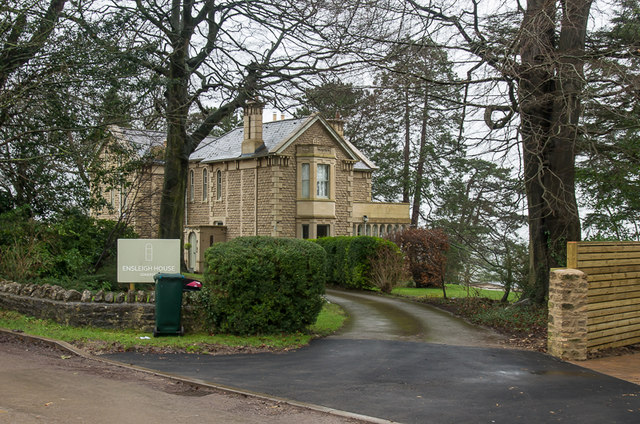
Image: © Ian Capper Taken: 11 Dec 2015
Large house on Granville Road, dating from the mid 19th Century. Grade II listed - see http://www.historicengland.org.uk/listing/the-list/list-entry/1396148.
Images are licensed for reuse under creativecommons.org/licenses/by-sa/2.0
Image Location
Latitude
51.405753
Longitude
-2.372505