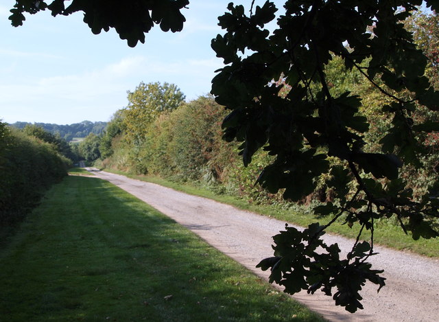
Hollinwood Lane, Calverton, Notts.
Introduction
The photograph on this page of Hollinwood Lane, Calverton, Notts. by David Hallam-Jones as part of the Geograph project.
The Geograph project started in 2005 with the aim of publishing, organising and preserving representative images for every square kilometre of Great Britain, Ireland and the Isle of Man.
There are currently over 7.5m images from over 14,400 individuals and you can help contribute to the project by visiting https://www.geograph.org.uk

Image: © David Hallam-Jones Taken: 1 Oct 2015
Hollinwood Lane is several miles long but it is bisected by Main Street, a principal route out of Calverton. Thus the lane is composed of this longer, unmade, section that bisects Ramsdale Park Golf Course (on either side of these hedges) and otherwise serves a private dwelling known as Hollinwood House and a second shorter, asphalted, cul-de-sac section that continues in the opposite direction to serve a Recycling Centre (a.k.a "the local tip"), the Calverton Miners' Welfare Club and a small number of residential properties.

