Near Calcutt
Introduction
The photograph on this page of Near Calcutt by Derek Harper as part of the Geograph project.
The Geograph project started in 2005 with the aim of publishing, organising and preserving representative images for every square kilometre of Great Britain, Ireland and the Isle of Man.

There are currently over 7.5m images from over 14,400 individuals and you can help contribute to the project by visiting https://www.geograph.org.uk
Near Calcutt
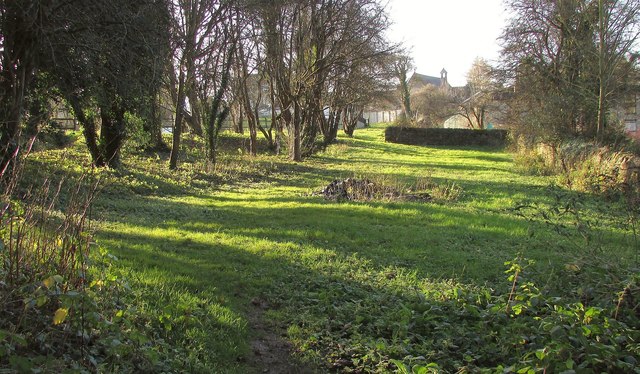
Image: © Derek Harper Taken: 23 Dec 2015
From the Knaresborough Round, following footpath 15 73/12/2. The Methodist chapel visible in the background dates from 1832.
Images are licensed for reuse under creativecommons.org/licenses/by-sa/2.0
Image Location
Latitude
53.998853
Longitude
-1.46757