Deerness Valley Walk below Broompark
Introduction
The photograph on this page of Deerness Valley Walk below Broompark by Trevor Littlewood as part of the Geograph project.
The Geograph project started in 2005 with the aim of publishing, organising and preserving representative images for every square kilometre of Great Britain, Ireland and the Isle of Man.

There are currently over 7.5m images from over 14,400 individuals and you can help contribute to the project by visiting https://www.geograph.org.uk
Deerness Valley Walk below Broompark
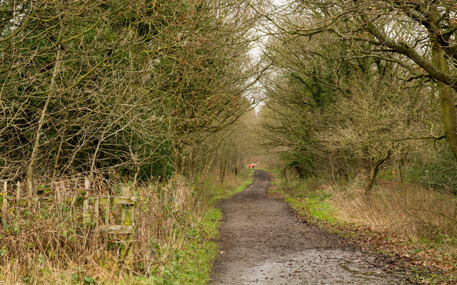
Image: © Trevor Littlewood Taken: 25 Dec 2015
The Deerness Valley Railway Walk follows, as would be imagined, an old railway route, using its track bed. Much of the way, as at this location, passes through trees; those to the right in the image are of Cooke's West Wood.
Images are licensed for reuse under creativecommons.org/licenses/by-sa/2.0
Image Location
Latitude
54.769112
Longitude
-1.626933