The South West corner of Norwood Park
Introduction
The photograph on this page of The South West corner of Norwood Park by Robin Drayton as part of the Geograph project.
The Geograph project started in 2005 with the aim of publishing, organising and preserving representative images for every square kilometre of Great Britain, Ireland and the Isle of Man.

There are currently over 7.5m images from over 14,400 individuals and you can help contribute to the project by visiting https://www.geograph.org.uk
The South West corner of Norwood Park
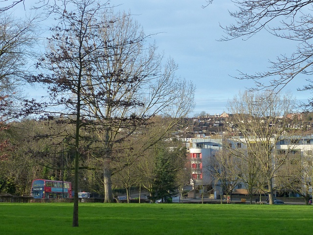
Image: © Robin Drayton Taken: 21 Dec 2015
Looking towards the junction of Crown Dale, Elder Road and Central Hill. A number of prefabs were located around the perimeter of the park here following World War II.
Images are licensed for reuse under creativecommons.org/licenses/by-sa/2.0
Image Location
Latitude
51.42291
Longitude
-0.09686