Former St Mark's churchyard (1)
Introduction
The photograph on this page of Former St Mark's churchyard (1) by Stephen Craven as part of the Geograph project.
The Geograph project started in 2005 with the aim of publishing, organising and preserving representative images for every square kilometre of Great Britain, Ireland and the Isle of Man.

There are currently over 7.5m images from over 14,400 individuals and you can help contribute to the project by visiting https://www.geograph.org.uk
Former St Mark's churchyard (1)
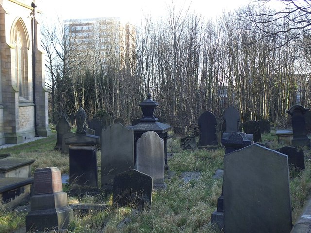
Image: © Stephen Craven Taken: 23 Dec 2015
The graveyard is still technically open for burials, but has been allowed by the new owners to become overgrown and is now fenced off.
Images are licensed for reuse under creativecommons.org/licenses/by-sa/2.0
Image Location
Latitude
53.811625
Longitude
-1.553169