Site of former St Matthew's church, Leeds
Introduction
The photograph on this page of Site of former St Matthew's church, Leeds by Stephen Craven as part of the Geograph project.
The Geograph project started in 2005 with the aim of publishing, organising and preserving representative images for every square kilometre of Great Britain, Ireland and the Isle of Man.

There are currently over 7.5m images from over 14,400 individuals and you can help contribute to the project by visiting https://www.geograph.org.uk
Site of former St Matthew's church, Leeds
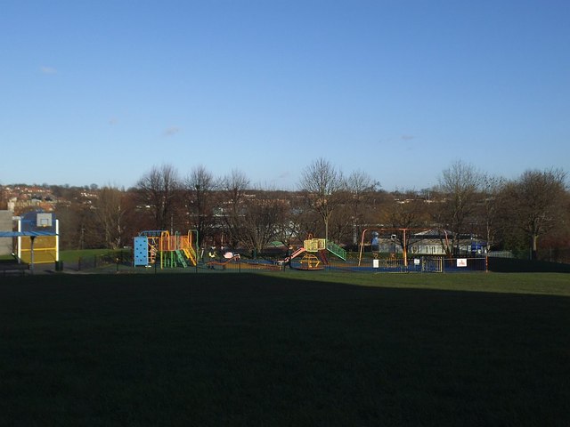
Image: © Stephen Craven Taken: 23 Dec 2015
The church was built in 1850 on what was then Camp Road (now Oatland Lane). It served an area of dense terraced housing, which was all demolished in the early 1960s, and the church went not long afterwards. Now the area has been redeveloped with new housing, school, shops and community centre, but the site of the church remains a public open space with a children's playground.
Images are licensed for reuse under creativecommons.org/licenses/by-sa/2.0
Image Location
Latitude
53.808071
Longitude
-1.540299