The Churnet Valley near Cheddleton, Staffordshire
Introduction
The photograph on this page of The Churnet Valley near Cheddleton, Staffordshire by Roger D Kidd as part of the Geograph project.
The Geograph project started in 2005 with the aim of publishing, organising and preserving representative images for every square kilometre of Great Britain, Ireland and the Isle of Man.

There are currently over 7.5m images from over 14,400 individuals and you can help contribute to the project by visiting https://www.geograph.org.uk
The Churnet Valley near Cheddleton, Staffordshire
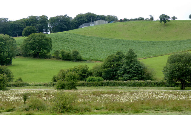
Image: © Roger D Kidd Taken: 1 Aug 2015
Seen from a passing train, this is the Churnet Valley. The river is concealed in the foreground in front of the unmowed land. A farm track can be seen crossing the image, and beyond that a hedge hides the Caldon Canal. Fields and buildings on the hill beyond are probably worked by Basfordbridge Farm.
Images are licensed for reuse under creativecommons.org/licenses/by-sa/2.0
Image Location
Latitude
53.061912
Longitude
-2.0304