Benchmark on Richardson's Drinking Fountain
Introduction
The photograph on this page of Benchmark on Richardson's Drinking Fountain by Matthew Hatton as part of the Geograph project.
The Geograph project started in 2005 with the aim of publishing, organising and preserving representative images for every square kilometre of Great Britain, Ireland and the Isle of Man.

There are currently over 7.5m images from over 14,400 individuals and you can help contribute to the project by visiting https://www.geograph.org.uk
Benchmark on Richardson's Drinking Fountain
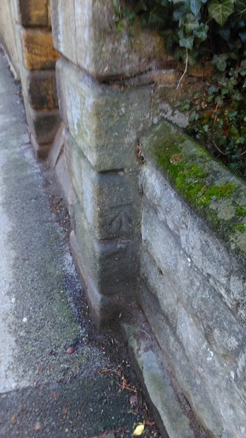
Image: © Matthew Hatton Taken: 24 Dec 2015
Also known as Borrage Well. Marked as being at a height of 96.0' c.1909.
Images are licensed for reuse under creativecommons.org/licenses/by-sa/2.0
Image Location
Latitude
54.131673
Longitude
-1.52785