Woody Close Farm
Introduction
The photograph on this page of Woody Close Farm by Robert Graham as part of the Geograph project.
The Geograph project started in 2005 with the aim of publishing, organising and preserving representative images for every square kilometre of Great Britain, Ireland and the Isle of Man.

There are currently over 7.5m images from over 14,400 individuals and you can help contribute to the project by visiting https://www.geograph.org.uk
Woody Close Farm
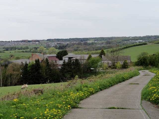
Image: © Robert Graham Taken: 5 May 2014
This farm is tucked into the hillside above the Stockerley Burn, near Iveston. It has been here since the C19, and the farmhouse is probably the original one. The rest of the buildings are C20. Viewed looking west towards Delves Lane and Crookhall, which can be seen in the distance.
Images are licensed for reuse under creativecommons.org/licenses/by-sa/2.0
Image Location
Latitude
54.848146
Longitude
-1.796424