Farmhouse at Sunniside farm
Introduction
The photograph on this page of Farmhouse at Sunniside farm by Robert Graham as part of the Geograph project.
The Geograph project started in 2005 with the aim of publishing, organising and preserving representative images for every square kilometre of Great Britain, Ireland and the Isle of Man.

There are currently over 7.5m images from over 14,400 individuals and you can help contribute to the project by visiting https://www.geograph.org.uk
Farmhouse at Sunniside farm
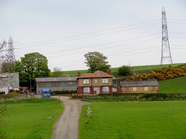
Image: © Robert Graham Taken: 5 May 2014
This large modern farm lies east of Iveston village. Although the farm is shown on the 1862 Ordnance Survey map, this farmhouse is obviously fairly recent. It could be 1930's from the style. Little seems to remain from the earlier period.
Images are licensed for reuse under creativecommons.org/licenses/by-sa/2.0
Image Location
Latitude
54.851698
Longitude
-1.77242