Wheathampstead United Reformed Church Notice Board
Introduction
The photograph on this page of Wheathampstead United Reformed Church Notice Board by Geographer as part of the Geograph project.
The Geograph project started in 2005 with the aim of publishing, organising and preserving representative images for every square kilometre of Great Britain, Ireland and the Isle of Man.

There are currently over 7.5m images from over 14,400 individuals and you can help contribute to the project by visiting https://www.geograph.org.uk
Wheathampstead United Reformed Church Notice Board
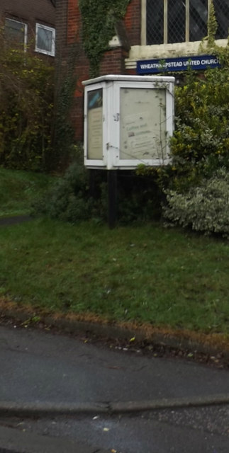
Image: © Geographer Taken: 16 Dec 2015
Off Brewhouse Hill http://www.wheathampstead.net/wuc/index.htm
Images are licensed for reuse under creativecommons.org/licenses/by-sa/2.0
Image Location


Leaflet Map data © OpenStreetMap
Latitude
51.810857
Longitude
-0.29719