Mallaig Harbour
Introduction
The photograph on this page of Mallaig Harbour by Richard Webb as part of the Geograph project.
The Geograph project started in 2005 with the aim of publishing, organising and preserving representative images for every square kilometre of Great Britain, Ireland and the Isle of Man.

There are currently over 7.5m images from over 14,400 individuals and you can help contribute to the project by visiting https://www.geograph.org.uk
Mallaig Harbour
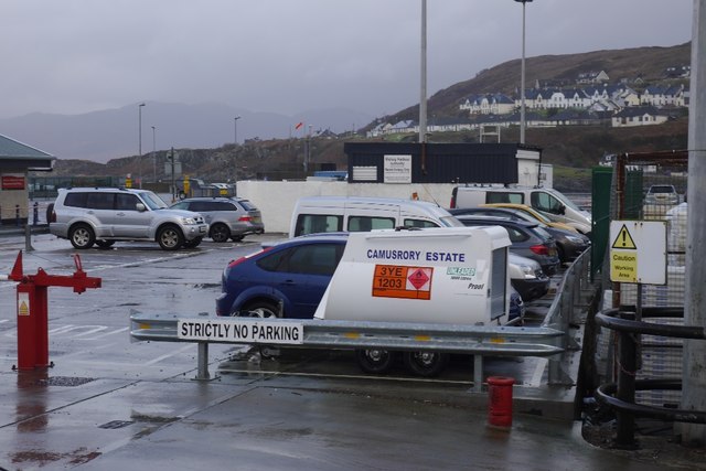
Image: © Richard Webb Taken: 21 Dec 2015
Camusrory's fuel supply, Camusrory is an estate at the head of Loch Nevis with no road links, everything goes in by sea.
Images are licensed for reuse under creativecommons.org/licenses/by-sa/2.0
Image Location
Latitude
57.006281
Longitude
-5.828803