Access to Lee Moor
Introduction
The photograph on this page of Access to Lee Moor by David Smith as part of the Geograph project.
The Geograph project started in 2005 with the aim of publishing, organising and preserving representative images for every square kilometre of Great Britain, Ireland and the Isle of Man.

There are currently over 7.5m images from over 14,400 individuals and you can help contribute to the project by visiting https://www.geograph.org.uk
Access to Lee Moor
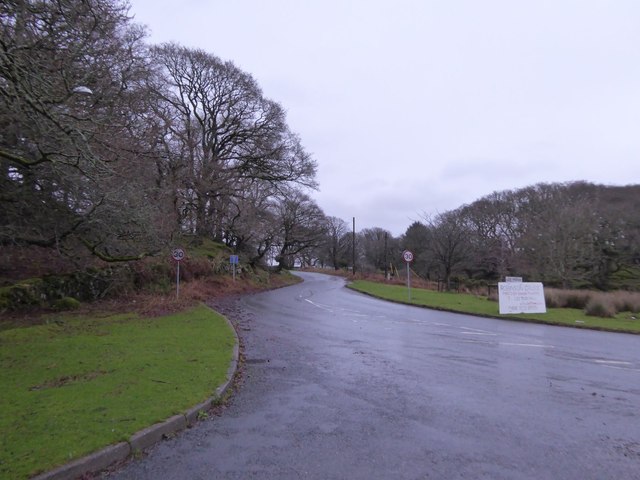
Image: © David Smith Taken: 19 Dec 2015
The development of china clay works around Lee Moor has led to considerable changes to the road system, so that Lee Moor is now reached by a cul de sac from the main road. Formerly there was a road from the north, from Cadover Bridge Image
Images are licensed for reuse under creativecommons.org/licenses/by-sa/2.0
Image Location
Latitude
50.43691
Longitude
-4.012907