Housing terrace, Charlton Place
Introduction
The photograph on this page of Housing terrace, Charlton Place by Jim Osley as part of the Geograph project.
The Geograph project started in 2005 with the aim of publishing, organising and preserving representative images for every square kilometre of Great Britain, Ireland and the Isle of Man.

There are currently over 7.5m images from over 14,400 individuals and you can help contribute to the project by visiting https://www.geograph.org.uk
Housing terrace, Charlton Place
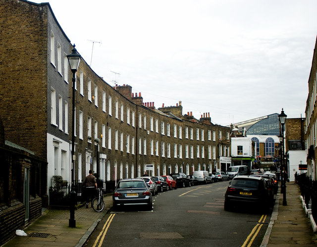
Image: © Jim Osley Taken: 1 Jan 2007
Grade II listed row of terraced houses built in 1795, and described at this https://historicengland.org.uk/listing/the-list/list-entry/1280160
Images are licensed for reuse under creativecommons.org/licenses/by-sa/2.0
Image Location
Latitude
51.534631
Longitude
-0.103321