East Castle House
Introduction
The photograph on this page of East Castle House by Robert Graham as part of the Geograph project.
The Geograph project started in 2005 with the aim of publishing, organising and preserving representative images for every square kilometre of Great Britain, Ireland and the Isle of Man.

There are currently over 7.5m images from over 14,400 individuals and you can help contribute to the project by visiting https://www.geograph.org.uk
East Castle House
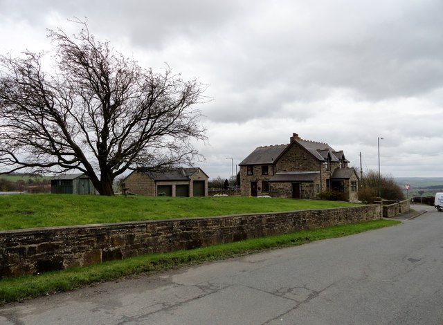
Image: © Robert Graham Taken: 9 Apr 2014
Viewed from the north, looking down Pontop Pike Lane. Little remains at East Castle now, but there was a pit village here in the C19 and early C20.
Images are licensed for reuse under creativecommons.org/licenses/by-sa/2.0
Image Location
Latitude
54.863196
Longitude
-1.770019