Sluices on the Wandle, Carshalton, Surrey
Introduction
The photograph on this page of Sluices on the Wandle, Carshalton, Surrey by Dr Neil Clifton as part of the Geograph project.
The Geograph project started in 2005 with the aim of publishing, organising and preserving representative images for every square kilometre of Great Britain, Ireland and the Isle of Man.

There are currently over 7.5m images from over 14,400 individuals and you can help contribute to the project by visiting https://www.geograph.org.uk
Sluices on the Wandle, Carshalton, Surrey
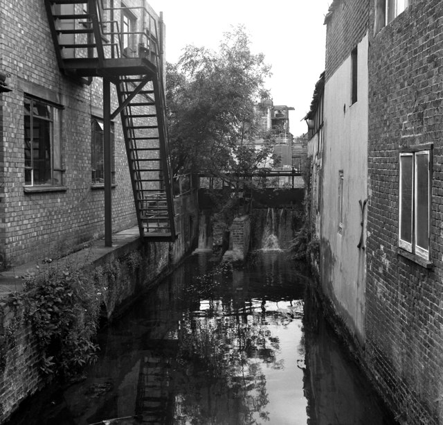
Image: © Dr Neil Clifton Taken: 21 Jul 1973
This shows sluices which were used to control the level on the Wandle and thus the admission of water to the vinyl works, part of whose plant can be seen in the gap between the foreground buildings.
Images are licensed for reuse under creativecommons.org/licenses/by-sa/2.0
Image Location
Latitude
51.370497
Longitude
-0.159664