Ollerton Village, Notts
Introduction
The photograph on this page of Ollerton Village, Notts by David Hallam-Jones as part of the Geograph project.
The Geograph project started in 2005 with the aim of publishing, organising and preserving representative images for every square kilometre of Great Britain, Ireland and the Isle of Man.

There are currently over 7.5m images from over 14,400 individuals and you can help contribute to the project by visiting https://www.geograph.org.uk
Ollerton Village, Notts
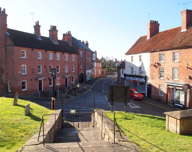
Image: © David Hallam-Jones Taken: 22 Feb 2015
A "T" junction formed by the B6461, a.k.a. Station Road (ahead) and the A616 (a road between Sheffield-Newark) seen from near the main door into St Giles' Church. The White House Hotel on the left faces several local businesses.
Images are licensed for reuse under creativecommons.org/licenses/by-sa/2.0
Image Location
Latitude
53.199129
Longitude
-1.022897