River Add from Dunadd
Introduction
The photograph on this page of River Add from Dunadd by Elliott Simpson as part of the Geograph project.
The Geograph project started in 2005 with the aim of publishing, organising and preserving representative images for every square kilometre of Great Britain, Ireland and the Isle of Man.

There are currently over 7.5m images from over 14,400 individuals and you can help contribute to the project by visiting https://www.geograph.org.uk
River Add from Dunadd
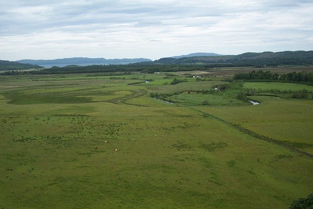
Image: © Elliott Simpson Taken: 15 Jun 2007
Looking across the flood plain towards Loch Crinan. In a few more years this may become an oxbow lake (or loch, given that it is in Scotland).
Images are licensed for reuse under creativecommons.org/licenses/by-sa/2.0
Image Location
Latitude
56.088354
Longitude
-5.484788