Field, Lockwood
Introduction
The photograph on this page of Field, Lockwood by Richard Webb as part of the Geograph project.
The Geograph project started in 2005 with the aim of publishing, organising and preserving representative images for every square kilometre of Great Britain, Ireland and the Isle of Man.

There are currently over 7.5m images from over 14,400 individuals and you can help contribute to the project by visiting https://www.geograph.org.uk
Field, Lockwood
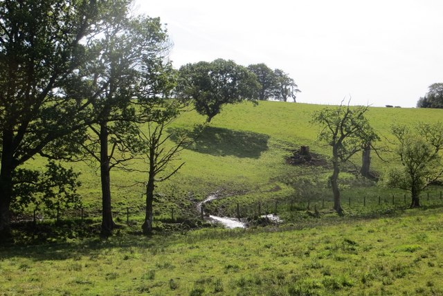
Image: © Richard Webb Taken: 17 Aug 2015
The landscape here is one of long parallel hills, aligned north to south. There is a gap in the woodlands which normally accompany the B7020.
Images are licensed for reuse under creativecommons.org/licenses/by-sa/2.0
Image Location
Latitude
55.236679
Longitude
-3.436967