Waterlogged field beside Beaney Lane
Introduction
The photograph on this page of Waterlogged field beside Beaney Lane by Trevor Littlewood as part of the Geograph project.
The Geograph project started in 2005 with the aim of publishing, organising and preserving representative images for every square kilometre of Great Britain, Ireland and the Isle of Man.

There are currently over 7.5m images from over 14,400 individuals and you can help contribute to the project by visiting https://www.geograph.org.uk
Waterlogged field beside Beaney Lane
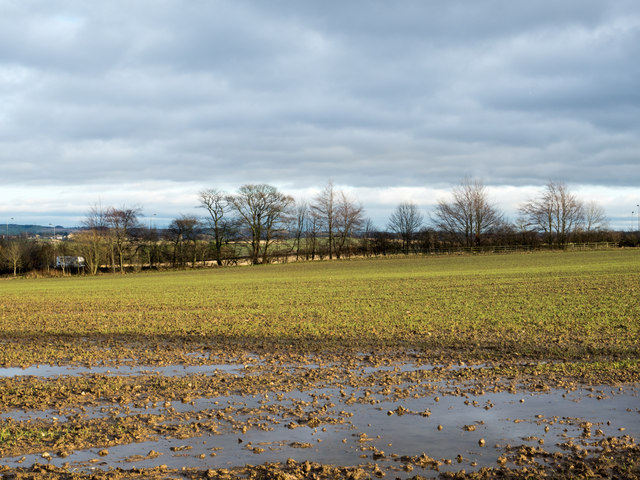
Image: © Trevor Littlewood Taken: 16 Dec 2015
Beaney Lane is a minor road north of Nettlesworth; this field on its eastern side, along with the land all around, is saturated with water following many weeks of above average rainfall.
Images are licensed for reuse under creativecommons.org/licenses/by-sa/2.0
Image Location
Latitude
54.832724
Longitude
-1.595056