Slade Hooton Hall, Slade Hooton
Introduction
The photograph on this page of Slade Hooton Hall, Slade Hooton by Neil Theasby as part of the Geograph project.
The Geograph project started in 2005 with the aim of publishing, organising and preserving representative images for every square kilometre of Great Britain, Ireland and the Isle of Man.

There are currently over 7.5m images from over 14,400 individuals and you can help contribute to the project by visiting https://www.geograph.org.uk
Slade Hooton Hall, Slade Hooton
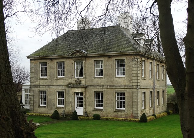
Image: © Neil Theasby Taken: 18 Dec 2015
This perfectly formed six bedroom late seventeenth century country house is Grade II listed.
Images are licensed for reuse under creativecommons.org/licenses/by-sa/2.0
Image Location
Latitude
53.397396
Longitude
-1.213272