Redlynch church
Introduction
The photograph on this page of Redlynch church by Robin Webster as part of the Geograph project.
The Geograph project started in 2005 with the aim of publishing, organising and preserving representative images for every square kilometre of Great Britain, Ireland and the Isle of Man.

There are currently over 7.5m images from over 14,400 individuals and you can help contribute to the project by visiting https://www.geograph.org.uk
Redlynch church
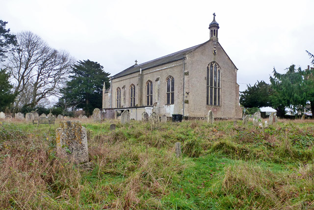
Image: © Robin Webster Taken: 18 Dec 2015
St. Mary's is just a Victorian structure from 1837 and it actually at the settlement of Lover.
Images are licensed for reuse under creativecommons.org/licenses/by-sa/2.0
Image Location
Latitude
50.980464
Longitude
-1.700523