Junction of B4639 and B4638 Worcester
Introduction
The photograph on this page of Junction of B4639 and B4638 Worcester by Jeff Gogarty as part of the Geograph project.
The Geograph project started in 2005 with the aim of publishing, organising and preserving representative images for every square kilometre of Great Britain, Ireland and the Isle of Man.

There are currently over 7.5m images from over 14,400 individuals and you can help contribute to the project by visiting https://www.geograph.org.uk
Junction of B4639 and B4638 Worcester
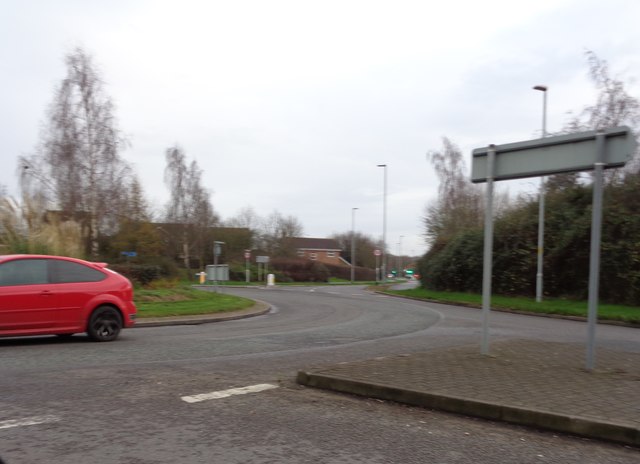
Image: © Jeff Gogarty Taken: 18 Dec 2015
Brindley Road, Cotswold Way (B4639), Woodgreen Drive (B4638) and Berkeley Way (B4639) form a roundabout on the edge of the Warndon Villages. To the right (Woodgreen Drive) is a large housing development and to the left (Brindley Road) is industry, but of a clean nature.
Images are licensed for reuse under creativecommons.org/licenses/by-sa/2.0
Image Location
Latitude
52.211981
Longitude
-2.17953