Converted farm buildings at Bridgehill
Introduction
The photograph on this page of Converted farm buildings at Bridgehill by Robert Graham as part of the Geograph project.
The Geograph project started in 2005 with the aim of publishing, organising and preserving representative images for every square kilometre of Great Britain, Ireland and the Isle of Man.

There are currently over 7.5m images from over 14,400 individuals and you can help contribute to the project by visiting https://www.geograph.org.uk
Converted farm buildings at Bridgehill
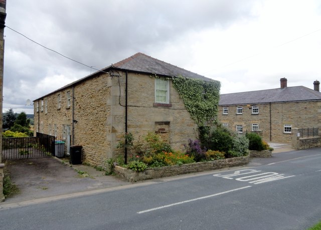
Image: © Robert Graham Taken: 2 Sep 2015
This large u-shaped courtyard of outbuildings formed part of Bridgehill Farm and is clearly shown on the 1861 First Series Ordnance Survey map. The rest of Bridgehill didn't exist then, the farm was all that was there. The buildings are now all residential.
Images are licensed for reuse under creativecommons.org/licenses/by-sa/2.0
Image Location
Latitude
54.85758
Longitude
-1.859152