Kirklington: on the A617
Introduction
The photograph on this page of Kirklington: on the A617 by John Sutton as part of the Geograph project.
The Geograph project started in 2005 with the aim of publishing, organising and preserving representative images for every square kilometre of Great Britain, Ireland and the Isle of Man.

There are currently over 7.5m images from over 14,400 individuals and you can help contribute to the project by visiting https://www.geograph.org.uk
Kirklington: on the A617
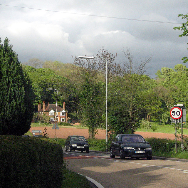
Image: © John Sutton Taken: 9 May 2009
Sunlight and rainclouds on a May evening, seen from the corner of Corkhill Lane.
Images are licensed for reuse under creativecommons.org/licenses/by-sa/2.0
Image Location
Latitude
53.111485
Longitude
-0.980215