Warning sign - staggered crossroads ahead, Pontnewynydd
Introduction
The photograph on this page of Warning sign - staggered crossroads ahead, Pontnewynydd by Jaggery as part of the Geograph project.
The Geograph project started in 2005 with the aim of publishing, organising and preserving representative images for every square kilometre of Great Britain, Ireland and the Isle of Man.

There are currently over 7.5m images from over 14,400 individuals and you can help contribute to the project by visiting https://www.geograph.org.uk
Warning sign - staggered crossroads ahead, Pontnewynydd
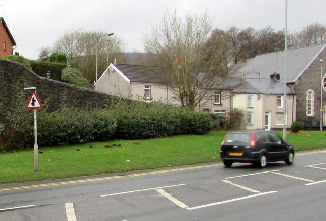
Image: © Jaggery Taken: 17 Dec 2015
Facing the A4043 Osborne Road, the red-edged triangular sign is on the approach to the junction of Merchants Hill on the left and George Street, about 50 metres further along, on the right.
Images are licensed for reuse under creativecommons.org/licenses/by-sa/2.0
Image Location
Latitude
51.709509
Longitude
-3.050822