Osborne Road pelican crossing, Pontnewynydd
Introduction
The photograph on this page of Osborne Road pelican crossing, Pontnewynydd by Jaggery as part of the Geograph project.
The Geograph project started in 2005 with the aim of publishing, organising and preserving representative images for every square kilometre of Great Britain, Ireland and the Isle of Man.

There are currently over 7.5m images from over 14,400 individuals and you can help contribute to the project by visiting https://www.geograph.org.uk
Osborne Road pelican crossing, Pontnewynydd
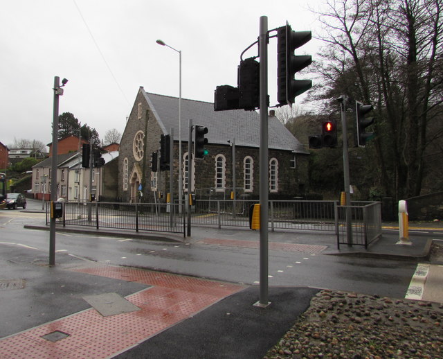
Image: © Jaggery Taken: 17 Dec 2015
Across the A4043 Osborne Road to Merchants Hill Baptist Church. http://www.geograph.org.uk/photo/4767248 Chambers Dictionary states that "pelican" is adapted from "pedestrian light controlled crossing".
Images are licensed for reuse under creativecommons.org/licenses/by-sa/2.0
Image Location
Latitude
51.709861
Longitude
-3.051699