William Batchelor House
Introduction
The photograph on this page of William Batchelor House by E Gammie as part of the Geograph project.
The Geograph project started in 2005 with the aim of publishing, organising and preserving representative images for every square kilometre of Great Britain, Ireland and the Isle of Man.

There are currently over 7.5m images from over 14,400 individuals and you can help contribute to the project by visiting https://www.geograph.org.uk
William Batchelor House
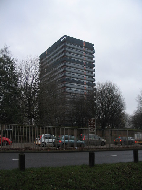
Image: © E Gammie Taken: 15 Dec 2015
A 1960s era tower block, recently externally refurbished, along with other tower blocks by the ring road, in two shades of grey with a contrasting vertical stripe. Seen from across Ringway St Nicholas. In 2011, in its previous colouring: Image]
Images are licensed for reuse under creativecommons.org/licenses/by-sa/2.0
Image Location


Leaflet Map data © OpenStreetMap
Latitude
52.413386
Longitude
-1.510528