Field south of Sacriston
Introduction
The photograph on this page of Field south of Sacriston by Trevor Littlewood as part of the Geograph project.
The Geograph project started in 2005 with the aim of publishing, organising and preserving representative images for every square kilometre of Great Britain, Ireland and the Isle of Man.

There are currently over 7.5m images from over 14,400 individuals and you can help contribute to the project by visiting https://www.geograph.org.uk
Field south of Sacriston
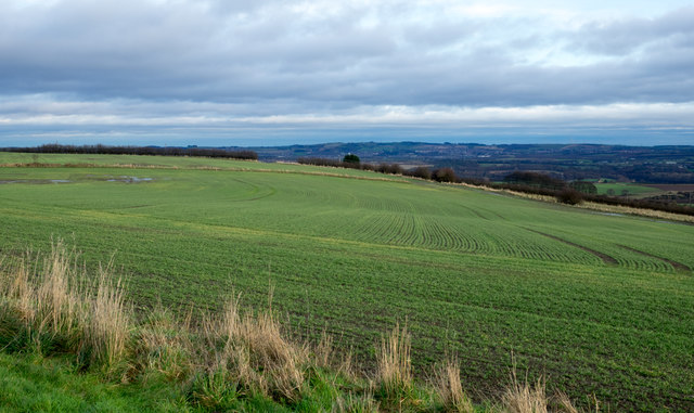
Image: © Trevor Littlewood Taken: 16 Dec 2015
The view is to the east over a field with an emerging crop from Bowbank, a road in a development known as Southburn Rise at the southern side Sacriston.
Images are licensed for reuse under creativecommons.org/licenses/by-sa/2.0
Image Location
Latitude
54.813117
Longitude
-1.617814