Eastbourne residential area
Introduction
The photograph on this page of Eastbourne residential area by Robin Webster as part of the Geograph project.
The Geograph project started in 2005 with the aim of publishing, organising and preserving representative images for every square kilometre of Great Britain, Ireland and the Isle of Man.

There are currently over 7.5m images from over 14,400 individuals and you can help contribute to the project by visiting https://www.geograph.org.uk
Eastbourne residential area
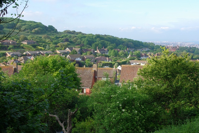
Image: © Robin Webster Taken: 11 Jun 2010
These houses are built in a big bay in the high ground of the downs to the west of the old town.
Images are licensed for reuse under creativecommons.org/licenses/by-sa/2.0
Image Location
Latitude
50.75782
Longitude
0.258579