East Limekilns toward Rosyth
Introduction
The photograph on this page of East Limekilns toward Rosyth by Robert Struthers as part of the Geograph project.
The Geograph project started in 2005 with the aim of publishing, organising and preserving representative images for every square kilometre of Great Britain, Ireland and the Isle of Man.

There are currently over 7.5m images from over 14,400 individuals and you can help contribute to the project by visiting https://www.geograph.org.uk
East Limekilns toward Rosyth
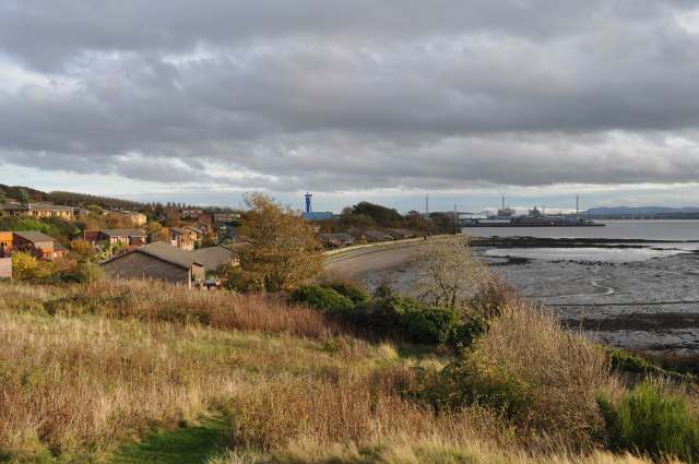
Image: © Robert Struthers Taken: 31 Oct 2015
New housing on the eastern edge of Limekilns. Beyond can be seen Rosyth dockyard, with the massive 'Goliath' crane used to assemble the Royal Navy's Queen Elizabeth class aircraft carriers. To its right are the three towers of the Queensferry Crossing under construction.
Images are licensed for reuse under creativecommons.org/licenses/by-sa/2.0
Image Location
Latitude
56.030562
Longitude
-3.471785