Maesawelon houses, Caersws
Introduction
The photograph on this page of Maesawelon houses, Caersws by Jaggery as part of the Geograph project.
The Geograph project started in 2005 with the aim of publishing, organising and preserving representative images for every square kilometre of Great Britain, Ireland and the Isle of Man.

There are currently over 7.5m images from over 14,400 individuals and you can help contribute to the project by visiting https://www.geograph.org.uk
Maesawelon houses, Caersws
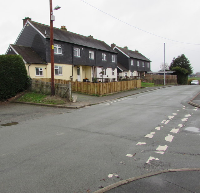
Image: © Jaggery Taken: 4 Nov 2015
Houses near Caersws Community Primary School. Maesawelon is a street in an area of houses above the B4569 in the northeast of Caersws. Adjacent street names also start with Maes - Maesyddinas, Maesydre and Maeshafren.
Images are licensed for reuse under creativecommons.org/licenses/by-sa/2.0
Image Location
Latitude
52.519898
Longitude
-3.425104