Pitt Street, Broadwaters, Kidderminster
Introduction
The photograph on this page of Pitt Street, Broadwaters, Kidderminster by P L Chadwick as part of the Geograph project.
The Geograph project started in 2005 with the aim of publishing, organising and preserving representative images for every square kilometre of Great Britain, Ireland and the Isle of Man.

There are currently over 7.5m images from over 14,400 individuals and you can help contribute to the project by visiting https://www.geograph.org.uk
Pitt Street, Broadwaters, Kidderminster
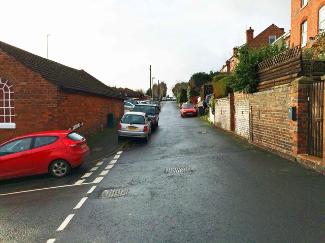
Image: © P L Chadwick Taken: 6 Dec 2015
Pitt Street is mainly residential and not a through road. It is connected with the rest of the town by Chapel Hill, which is the road on the left. By the junction is the Broadwaters Methodist Church.
Images are licensed for reuse under creativecommons.org/licenses/by-sa/2.0
Image Location
Latitude
52.401219
Longitude
-2.234681