Path alongside Worksop Road
Introduction
The photograph on this page of Path alongside Worksop Road by Jonathan Thacker as part of the Geograph project.
The Geograph project started in 2005 with the aim of publishing, organising and preserving representative images for every square kilometre of Great Britain, Ireland and the Isle of Man.

There are currently over 7.5m images from over 14,400 individuals and you can help contribute to the project by visiting https://www.geograph.org.uk
Path alongside Worksop Road
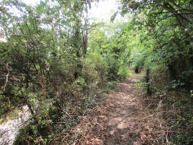
Image: © Jonathan Thacker Taken: 22 Aug 2015
Most OS maps show the footpath from Whitwell Wood to Worksop Road, Whitwell as running directly to the road but in fact when it meets the road it turns right and runs parallel to it and above it for some 100 metres.
Images are licensed for reuse under creativecommons.org/licenses/by-sa/2.0
Image Location
Latitude
53.28679
Longitude
-1.206905