Asterby, St Peter's Church
Introduction
The photograph on this page of Asterby, St Peter's Church by Brian Westlake as part of the Geograph project.
The Geograph project started in 2005 with the aim of publishing, organising and preserving representative images for every square kilometre of Great Britain, Ireland and the Isle of Man.

There are currently over 7.5m images from over 14,400 individuals and you can help contribute to the project by visiting https://www.geograph.org.uk
Asterby, St Peter's Church
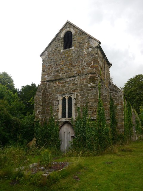
Image: © Brian Westlake Taken: 23 Jul 2015
The west end of the abandoned Asterby church. See http://www.geograph.org.uk/photo/4765544 for a full view of the church and http://www.geograph.org.uk/photo/4765551 for a close-up of the buttress where an Ordnance Survey cut mark may lurk under the ivy.
Images are licensed for reuse under creativecommons.org/licenses/by-sa/2.0
Image Location


Leaflet Map data © OpenStreetMap
Latitude
53.297392
Longitude
-0.105347