Stroude Road
Introduction
The photograph on this page of Stroude Road by David Howard as part of the Geograph project.
The Geograph project started in 2005 with the aim of publishing, organising and preserving representative images for every square kilometre of Great Britain, Ireland and the Isle of Man.

There are currently over 7.5m images from over 14,400 individuals and you can help contribute to the project by visiting https://www.geograph.org.uk
Stroude Road
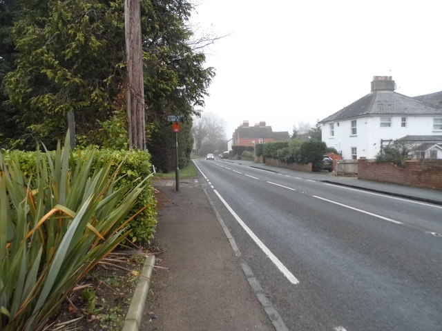
Image: © David Howard Taken: 13 Dec 2015
Stroude is a village strung out along the road from Virginia Water to Englefield Green, so unless you're making that journey you'd never pass through it, as I hadn't till now.
Images are licensed for reuse under creativecommons.org/licenses/by-sa/2.0
Image Location
Latitude
51.407107
Longitude
-0.558629