OS benchmark - Knowle, 36 Hampton Road
Introduction
The photograph on this page of OS benchmark - Knowle, 36 Hampton Road by Richard Law as part of the Geograph project.
The Geograph project started in 2005 with the aim of publishing, organising and preserving representative images for every square kilometre of Great Britain, Ireland and the Isle of Man.

There are currently over 7.5m images from over 14,400 individuals and you can help contribute to the project by visiting https://www.geograph.org.uk
OS benchmark - Knowle, 36 Hampton Road
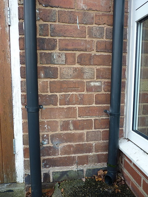
Image: © Richard Law Taken: 9 Dec 2015
An OS cutmark on the front wall of no 36; originally levelled at 123.7m above Ordnance Datum Newlyn. This one is apparently due to disappear soon, as the house is to be demolished to make way for new housing.
Images are licensed for reuse under creativecommons.org/licenses/by-sa/2.0
Image Location
Latitude
52.391754
Longitude
-1.735509