The White Monk Tearoom and former village school Blanchland
Introduction
The photograph on this page of The White Monk Tearoom and former village school Blanchland by Jo and Steve Turner as part of the Geograph project.
The Geograph project started in 2005 with the aim of publishing, organising and preserving representative images for every square kilometre of Great Britain, Ireland and the Isle of Man.

There are currently over 7.5m images from over 14,400 individuals and you can help contribute to the project by visiting https://www.geograph.org.uk
The White Monk Tearoom and former village school Blanchland
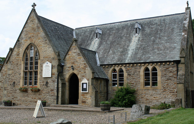
Image: © Jo and Steve Turner Taken: 24 Jul 2010
Grade II Listed school of 1851, probably by Samuel Sanders Teulon (1812-1873). The roof of the central cross-wing was formerly capped by a tall wooden bellcote removed in the late 1970s.
Images are licensed for reuse under creativecommons.org/licenses/by-sa/2.0
Image Location
Latitude
54.848483
Longitude
-2.055255