End of the 30 zone, Edgeley Road, Whitchurch
Introduction
The photograph on this page of End of the 30 zone, Edgeley Road, Whitchurch by Jaggery as part of the Geograph project.
The Geograph project started in 2005 with the aim of publishing, organising and preserving representative images for every square kilometre of Great Britain, Ireland and the Isle of Man.

There are currently over 7.5m images from over 14,400 individuals and you can help contribute to the project by visiting https://www.geograph.org.uk
End of the 30 zone, Edgeley Road, Whitchurch
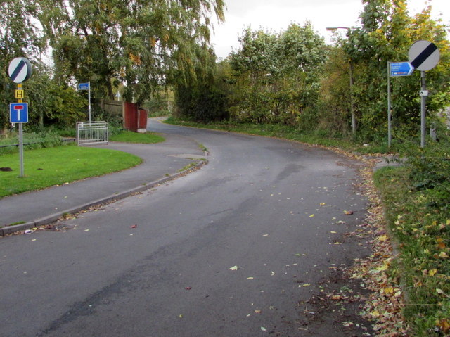
Image: © Jaggery Taken: 22 Oct 2015
The 30mph speed limit increases to the National Speed Limit. A No Through Road sign is on the left. Old maps show that Edgeley Road used to be a through road. Now it is severed by the A525, 550 metres ahead. Near the A525, metal barriers across Edgeley Road block the passage of motor vehicles, but not walkers and cyclists.
Images are licensed for reuse under creativecommons.org/licenses/by-sa/2.0
Image Location
Latitude
52.963
Longitude
-2.676012