Up Bridge Street, Crickhowell
Introduction
The photograph on this page of Up Bridge Street, Crickhowell by Jaggery as part of the Geograph project.
The Geograph project started in 2005 with the aim of publishing, organising and preserving representative images for every square kilometre of Great Britain, Ireland and the Isle of Man.

There are currently over 7.5m images from over 14,400 individuals and you can help contribute to the project by visiting https://www.geograph.org.uk
Up Bridge Street, Crickhowell
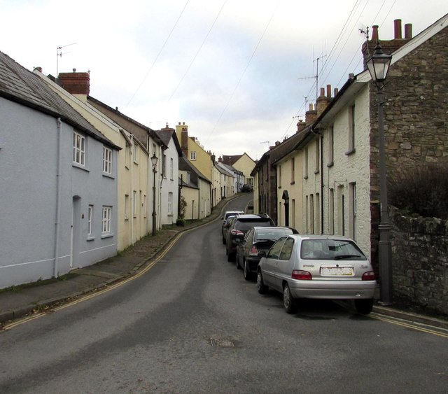
Image: © Jaggery Taken: 22 Nov 2015
Bridge Street ascends towards Lamb Lane, High Street and Castle Road. Before New Road opened in 1830, this was a main route through Crickhowell. In 2015 it is a side street with a one-way system, up the hill.
Images are licensed for reuse under creativecommons.org/licenses/by-sa/2.0
Image Location
Latitude
51.857032
Longitude
-3.140508