Housing by the M3
Introduction
The photograph on this page of Housing by the M3 by Fernweh as part of the Geograph project.
The Geograph project started in 2005 with the aim of publishing, organising and preserving representative images for every square kilometre of Great Britain, Ireland and the Isle of Man.

There are currently over 7.5m images from over 14,400 individuals and you can help contribute to the project by visiting https://www.geograph.org.uk
Housing by the M3
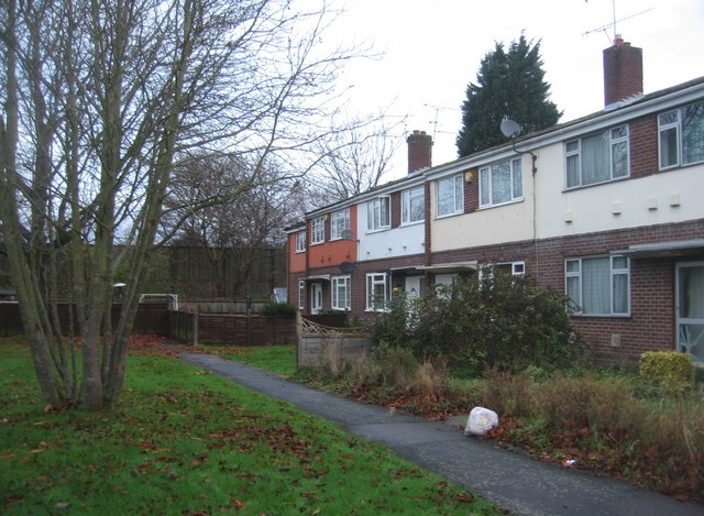
Image: © Fernweh Taken: 25 Nov 2015
Just off Cheyne Way. The M3 runs behind the fence at a slightly raised elevation, the noise and fumes cannot be good for residents.
Images are licensed for reuse under creativecommons.org/licenses/by-sa/2.0
Image Location
Latitude
51.309548
Longitude
-0.772305