Early 21st century housing in Station Close, Ryde
Introduction
The photograph on this page of Early 21st century housing in Station Close, Ryde by Jaggery as part of the Geograph project.
The Geograph project started in 2005 with the aim of publishing, organising and preserving representative images for every square kilometre of Great Britain, Ireland and the Isle of Man.

There are currently over 7.5m images from over 14,400 individuals and you can help contribute to the project by visiting https://www.geograph.org.uk
Early 21st century housing in Station Close, Ryde
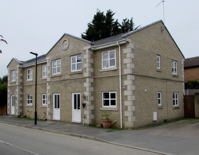
Image: © Jaggery Taken: 10 Oct 2015
The year 2008 is in the roundel at the top of the row of three dwellings near Ryde St John's Road railway station.
Images are licensed for reuse under creativecommons.org/licenses/by-sa/2.0
Image Location
Latitude
50.724399
Longitude
-1.157572