Romanby Road
Introduction
The photograph on this page of Romanby Road by Bob Embleton as part of the Geograph project.
The Geograph project started in 2005 with the aim of publishing, organising and preserving representative images for every square kilometre of Great Britain, Ireland and the Isle of Man.

There are currently over 7.5m images from over 14,400 individuals and you can help contribute to the project by visiting https://www.geograph.org.uk
Romanby Road
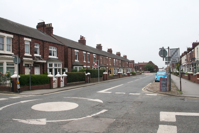
Image: © Bob Embleton Taken: 18 Jun 2007
Viewed from where Alverton Lane crosses at one of a plague of mini roundabouts that have hit the town recently. The curved brickwork in the distance is on Church House which used to hold the Church of England Sunday School.
Images are licensed for reuse under creativecommons.org/licenses/by-sa/2.0
Image Location
Latitude
54.337542
Longitude
-1.436598