Marston Marshes in flood
Introduction
The photograph on this page of Marston Marshes in flood by Katy Walters as part of the Geograph project.
The Geograph project started in 2005 with the aim of publishing, organising and preserving representative images for every square kilometre of Great Britain, Ireland and the Isle of Man.

There are currently over 7.5m images from over 14,400 individuals and you can help contribute to the project by visiting https://www.geograph.org.uk
Marston Marshes in flood
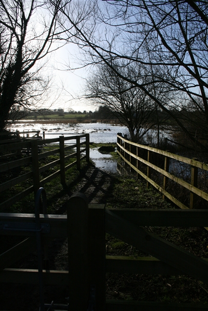
Image: © Katy Walters Taken: 21 Jan 2007
Looking along one of the access gates, next to a pen used when loading or unloading the cattle that graze these marshes.
Images are licensed for reuse under creativecommons.org/licenses/by-sa/2.0
Image Location
Latitude
52.603127
Longitude
1.265125