Glenthorne Avenue
Introduction
The photograph on this page of Glenthorne Avenue by Richard Dorrell as part of the Geograph project.
The Geograph project started in 2005 with the aim of publishing, organising and preserving representative images for every square kilometre of Great Britain, Ireland and the Isle of Man.

There are currently over 7.5m images from over 14,400 individuals and you can help contribute to the project by visiting https://www.geograph.org.uk
Glenthorne Avenue
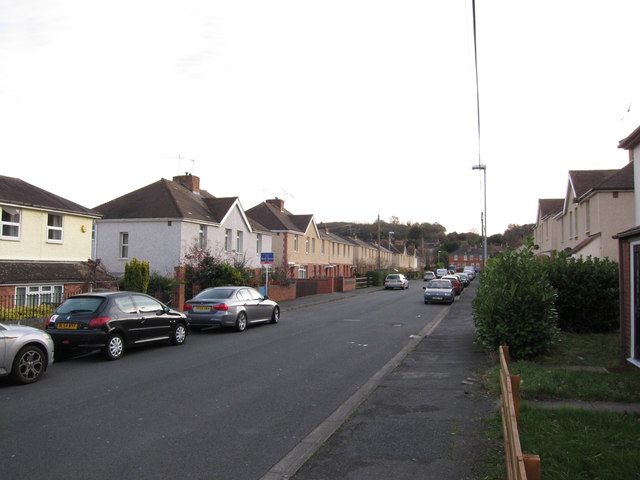
Image: © Richard Dorrell Taken: 21 Nov 2015
Semi-detached housing in the Brickfields area of Worcester.
Images are licensed for reuse under creativecommons.org/licenses/by-sa/2.0
Image Location
Latitude
52.204855
Longitude
-2.19472