Lock-up benchmark
Introduction
The photograph on this page of Lock-up benchmark by Neil Owen as part of the Geograph project.
The Geograph project started in 2005 with the aim of publishing, organising and preserving representative images for every square kilometre of Great Britain, Ireland and the Isle of Man.

There are currently over 7.5m images from over 14,400 individuals and you can help contribute to the project by visiting https://www.geograph.org.uk
Lock-up benchmark
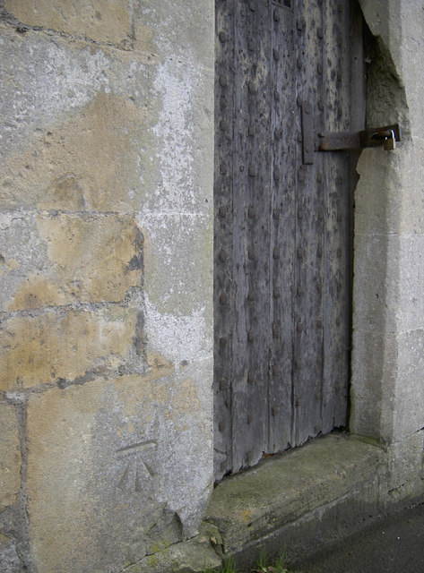
Image: © Neil Owen Taken: 8 Dec 2015
This cutmark appears on the old lock-up, where many an intoxicated reveller would have been kept until sober. See Image] for a wider view and http://www.bench-marks.org.uk/bm72040 for the entry in the Benchmark Database.
Images are licensed for reuse under creativecommons.org/licenses/by-sa/2.0
Image Location
Latitude
51.401004
Longitude
-2.304846