Eliza Farm
Introduction
The photograph on this page of Eliza Farm by Robert Graham as part of the Geograph project.
The Geograph project started in 2005 with the aim of publishing, organising and preserving representative images for every square kilometre of Great Britain, Ireland and the Isle of Man.

There are currently over 7.5m images from over 14,400 individuals and you can help contribute to the project by visiting https://www.geograph.org.uk
Eliza Farm
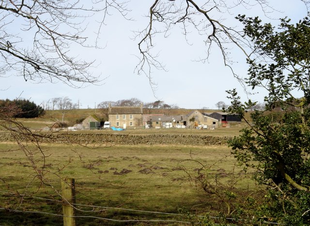
Image: © Robert Graham Taken: 2 Apr 2015
This farm lies just east of the A68 and is typical of the farms which are spaced along the road between Castleside and Tow Law. They concentrate on stock rearing (sheep and beef cattle) as this a bit of a bleak place for arable farming. Viewed from the south on Eliza Lane.
Images are licensed for reuse under creativecommons.org/licenses/by-sa/2.0
Image Location
Latitude
54.807433
Longitude
-1.856992